| Name |
|
Description |
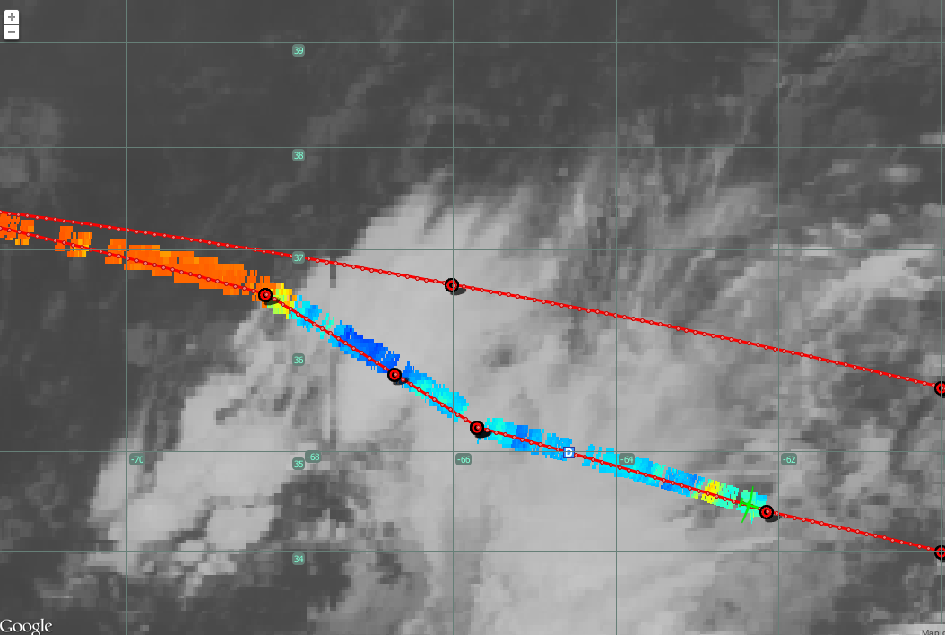
| 20120914_first_clouds_BT.png |
|
S-HIS BT (900cm-1) with GOES Visible
|
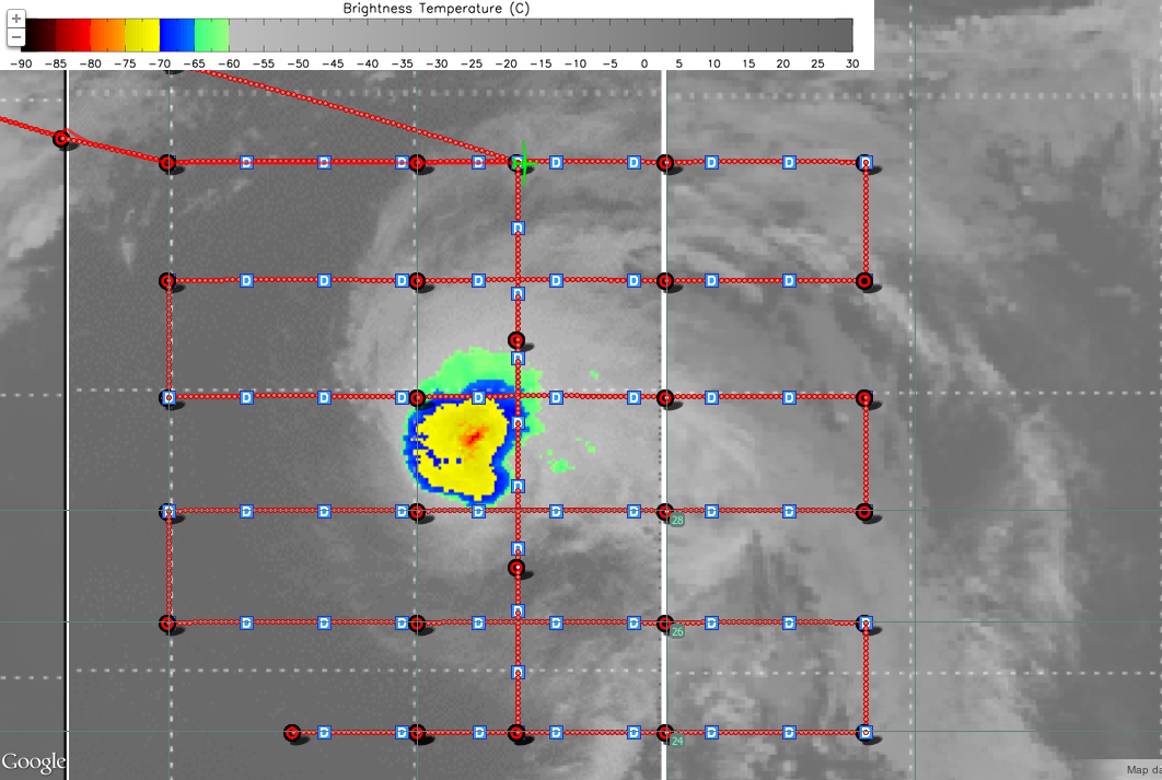
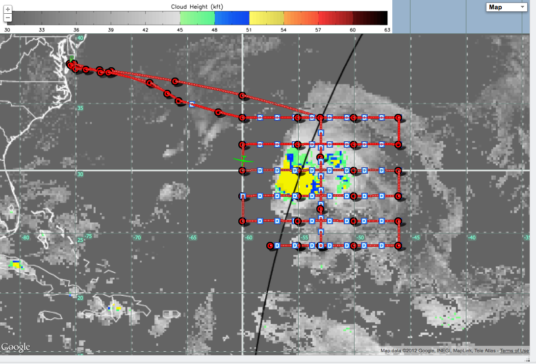
| 20120914_nadine_cth_1732.png |
|
GH Track with Cloud Top Height
|
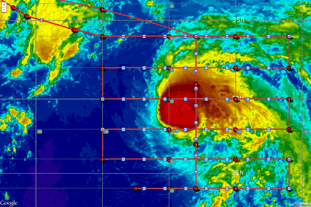
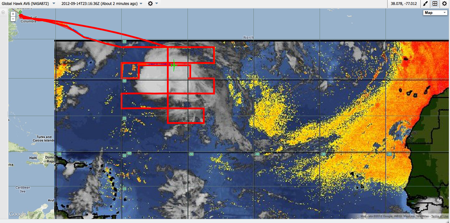
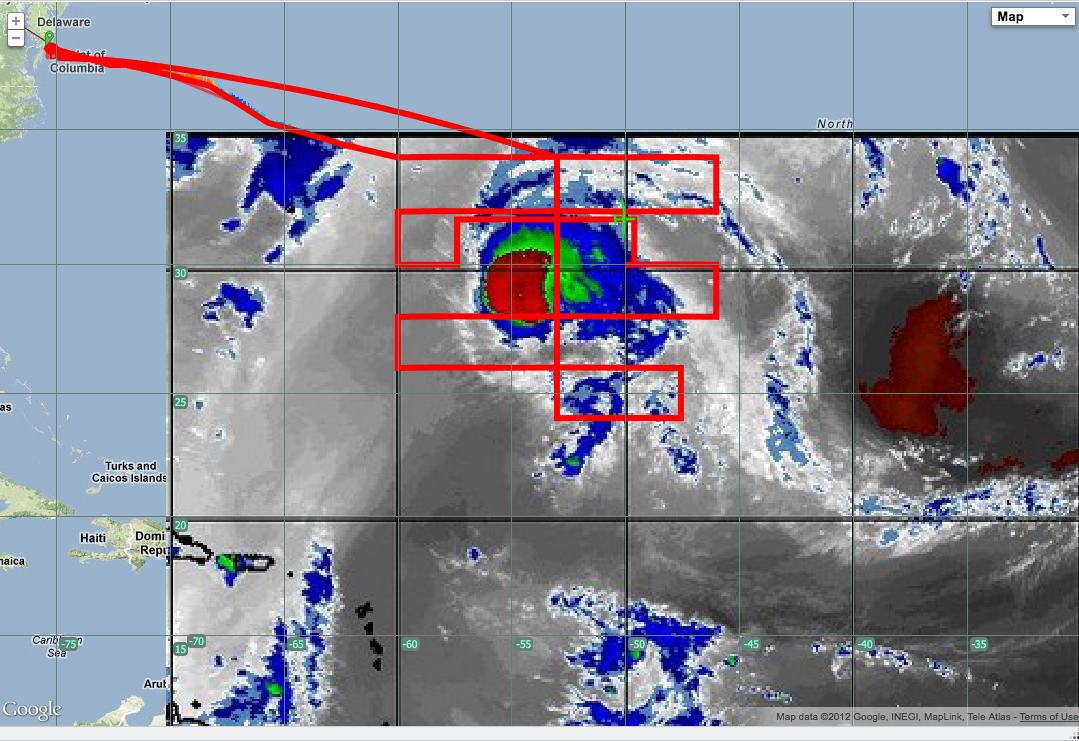
| 20120914_nadine_IR.png |
|
GH Track and NHC IR Image
|
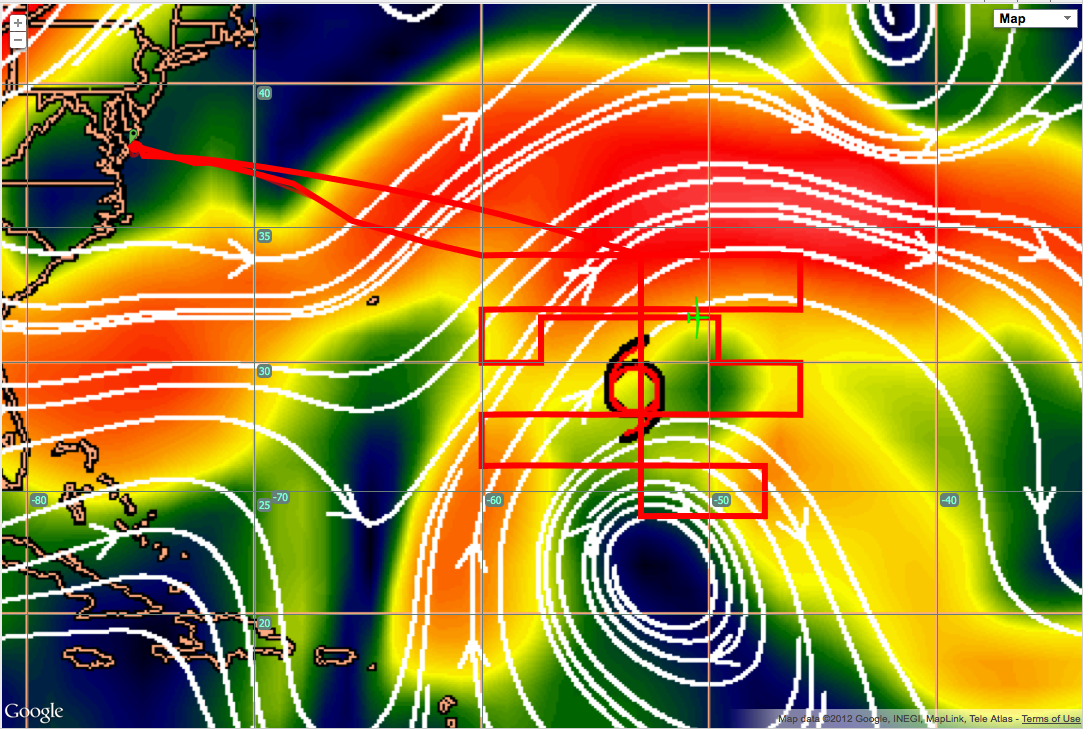
| 20120914_nadine_connective_cth.png |

|
GH Track and Connective Cloud Top Height
|
| 20120914_nadine_connective_cth_colorbar.png |
|
GH Track and Connective Cloud Top Height with colorbar
|
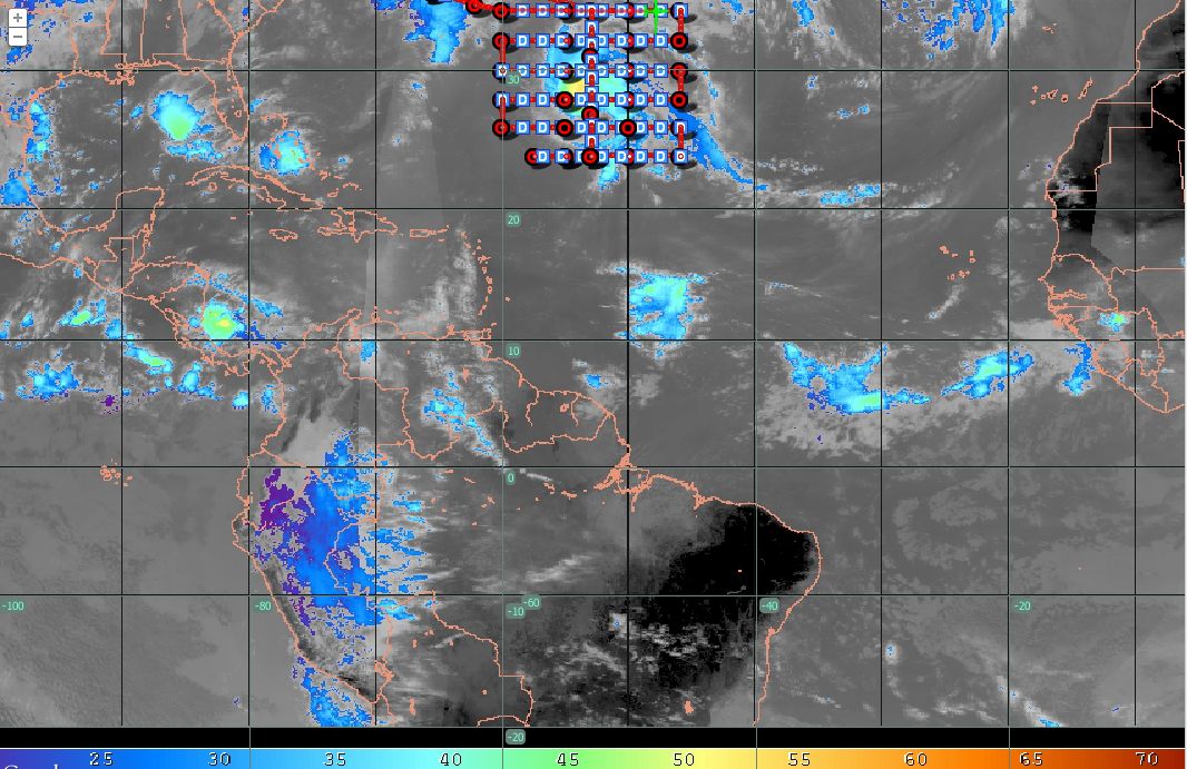
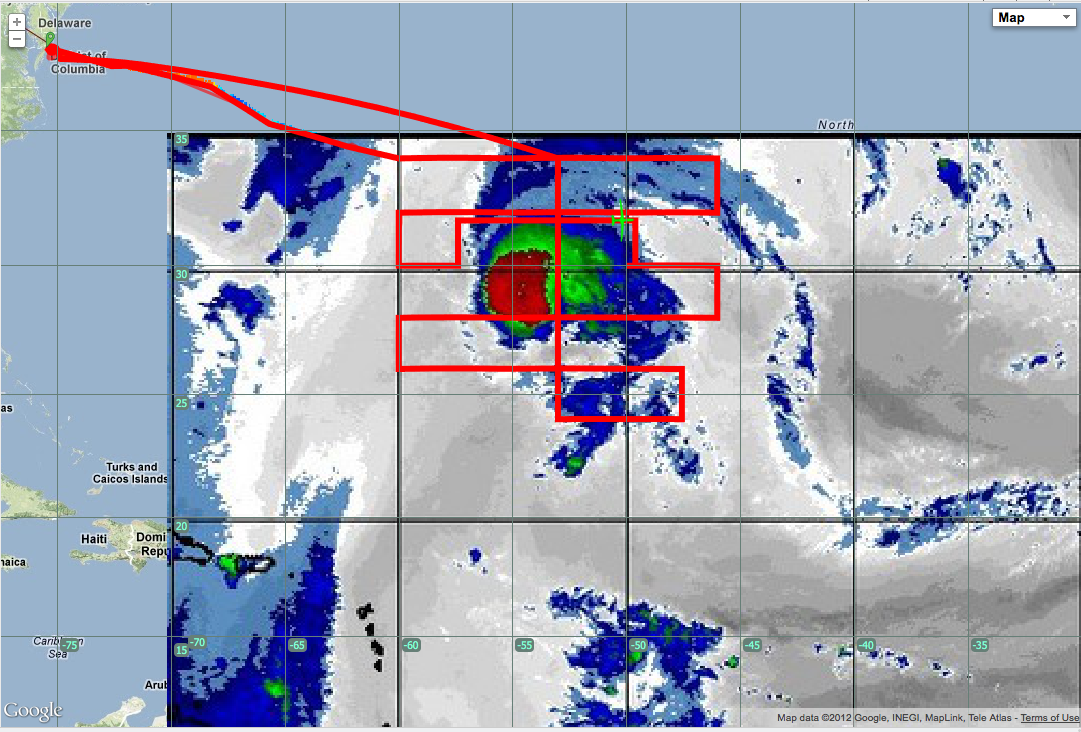
| 20120914_live_images.shis.fig3.png |

|
SHIS "live image" BT map
|
| 20120914-Cloud top hts-CIMSS-2095_2100.png |
|
CIMSS Cloud Top Height
|
| 20120914_Flight Track SAL Product MTS 2012-09-14 at 11.18.14 PM.png |
|
GH Flight Track and GOES SAL product
|
| 20120914_cloud_top_height 2012-09-14 at 11.27.59 PM.png |

|
Cloud Top Height
|
| 20120914_Wind_Shear_2012-09-14 at 11.32.19 PM.png |
|
Wind Shear
|
| 20120914_SAL_ULWV 2012-09-14 at 11.34.52 PM.png |
|
SAL - Upper Level Water Vapor
|
| 20120914_SAL-Mid Level WV 2012-09-14 at 11.35.50 PM.png |
|
SAL - Mid Level WV
|
| 20120914_LaRC_GOES_WV_2012-09-14 at 11.38.03 PM.png |

|
TEXT
|
| 20120914_LaRC_GOES_IR 2012-09-14 at 11.39.25 PM.png |

|
TEXT
|
| 20120914_LaRC_GOES_IR_color_2012-09-14 at 11.41.35 PM.png |
|
TEXT
|
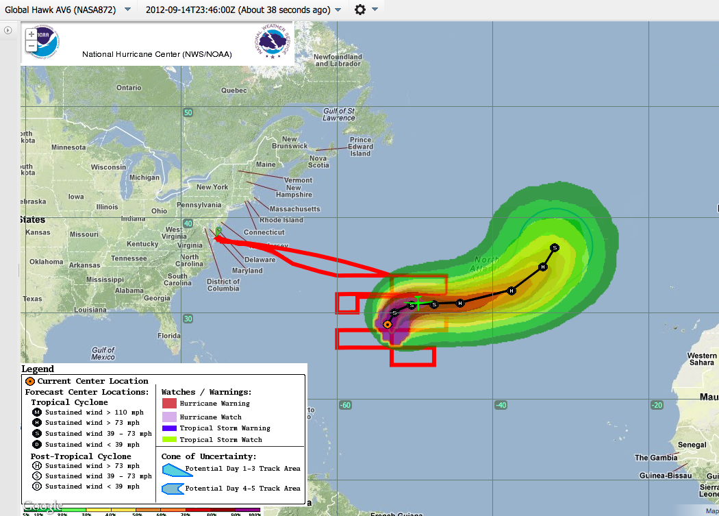
| 20120914_Forecast_Track_2012-09-14 at 11.46.28 PM.png |
|
TEXT
|
| 20120914_GOES_IR_greyscale_2012-09-14 at 11.48.42 PM.png |

|
TEXT
|
| 20120914_GOES_WV 2012-09-14 at 11.50.59 PM.png |

|
TEXT
|
| 20120915_SHIS_BT_GOES_WV 2012-09-15 at 12.02.20 AM.png |

|
TEXT
|
| 20120915_SHIS_BT_GOES_IR_2012-09-15 at 12.07.25 AM.png |

|
TEXT
|
| 20120914_CPL_2012-09-15 at 12.16.36 AM.png |

|
TEXT
|
| 20120915_SHIS_BT_GOES_IR 2012-09-15 at 12.58.00 AM.png |

|
TEXT
|
| 20120915_SHIS_BT_GOES_IR_2012-09-15 at 1.07.02 AM.png |
|
TEXT
|
| 20120915_SHIS_BT_GOES_IR_2012-09-15 at 1.59.27 AM.png |
|
TEXT
|
| 20120915_SHIS_BT_GOES_IR 2012-09-15 at 2.01.52 AM.png |

|
TEXT
|
| 20120915_AVAPS_West_Env 2012-09-15 at 2.14.01 AM.png |
|
TEXT
|
| 20120915_AVAPS_West_Env 2012-09-15 at 2.14.01 AM.png |
|
TEXT
|
| 20120915_AVAPS_NE_Env_2012-09-15 at 2.18.34 AM.png |

|
TEXT
|
| 20120915_Cirrus_Shield 2012-09-15 at 2.38.24 AM.png |
|
TEXT
|
| 20120915_CPL_clear_West 2012-09-15 at 2.39.44 AM.png |
|
TEXT
|
| 20120915_SHIS_BT_GOES_IR_West_clear_2012-09-15 at 2.42.51 AM.png |

|
TEXT
|
| 20120915_AVAP_SouthEdge 2012-09-15 at 3.31.05 AM.png |
|
TEXT
|
| 20120915_GH_altitude_2012-09-15 at 3.33.34 AM.png |
|
TEXT
|
| 20120915_CIMSS_PWV_2012-09-15 at 3.42.33 AM.png |
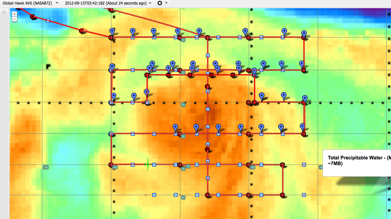
|
TEXT
|
| 20120915_SAL_2012-09-15 at 3.53.52 AM.png/th>
|
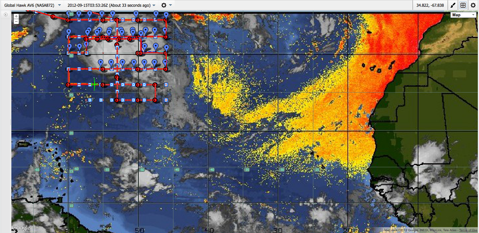
|
TEXT
|
| 20120915_SHIS_BT_GOES_IR 2012-09-15 at 4.34.21 AM.png/th>
|
|
TEXT
|
| 20120915_SHIS_BT_GOES_IR_ 2012-09-15 at 5.20.20 AM.png/th>
|

|
TEXT
|
| 20120915_SHIS_BT_GOES_IR_ 2012-09-15 at 5.20.20 AM.png/th>
|
|
TEXT
|
| 20120915_Flight_Path_NHC_GOES_IR_ 2012-09-15 at 5.39.57 AM.png/th>
|
|
TEXT
|
| 20120915_SHIS_BT_GOES_IR2012-09-15 at 6.37.37 AM.png/th>
|
|
TEXT
|
| S20120915_NHC_IR_2012-09-15 at 6.45.24 AM.png/th>
|
|
TEXT
|
| 20120915_CTH_2012-09-15 at 6.49.03 AM.png/th>
|

|
TEXT
|
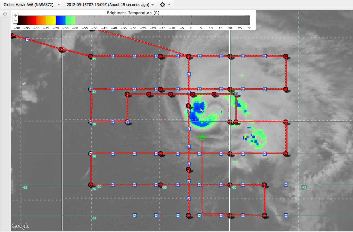
| 20120915_CloudTop_Temp_2012-09-15 at 7.13.15 AM.png/th>
|
|
TEXT
|
| 20120915_CPL_CloudLidar 2012-09-15 at 7.17.17 AM.png/th>
|

|
TEXT
|
| 20120915_CloudTop_Temp 2012-09-15 at 7.19.03 AM.png/th>
|

|
TEXT
|
| 20120915_CloudTop_Temp_2012-09-15 at 7.22.09 AM.png/th>
|
|
TEXT
|
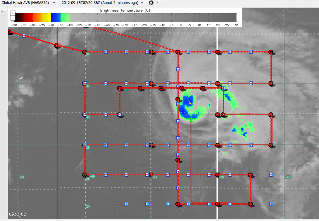
| 20120915_CloudTop_Temp_ 2012-09-15 at 7.27.39 AM.png/th>
|
|
TEXT
|
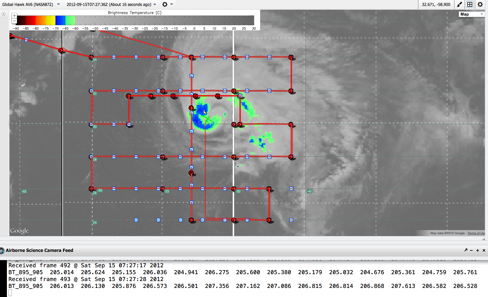
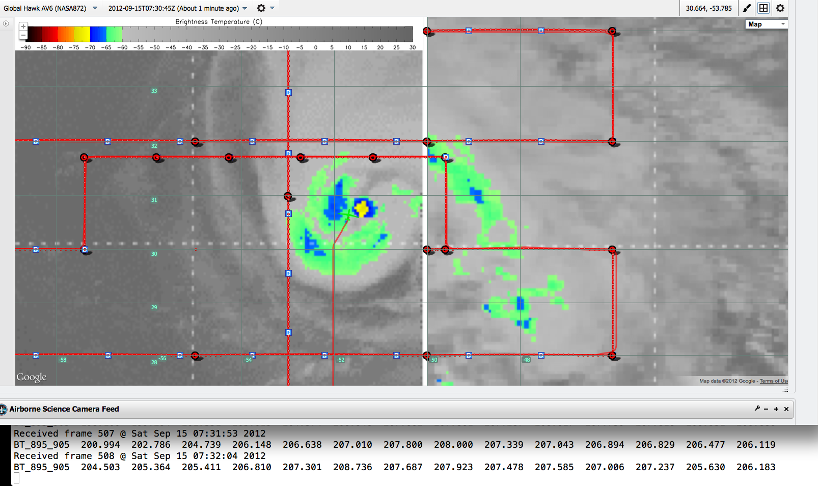
| 20120915_CloudTop_Temp_with_SHIS_BT_Values 2012-09-15 at 7.29.42 AM.png/th>
|
|
TEXT
|
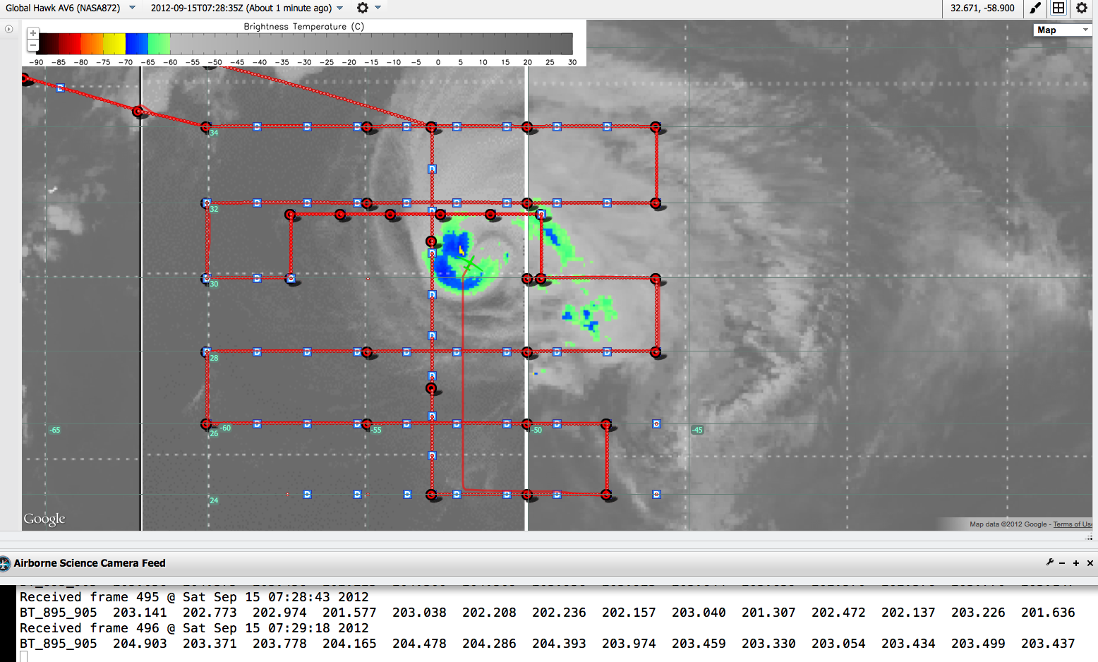
| 20120915_CloudTop_Temp_with_SHIS_BT_Values 2012-09-15 at 7.29.42 AM.png/th>
|
|
TEXT
|
| 20120915_CloudTop_Temp_with_SHIS_BT_Values 2012-09-15 at 7.29.42 AM.png/th>
|
|
TEXT
|
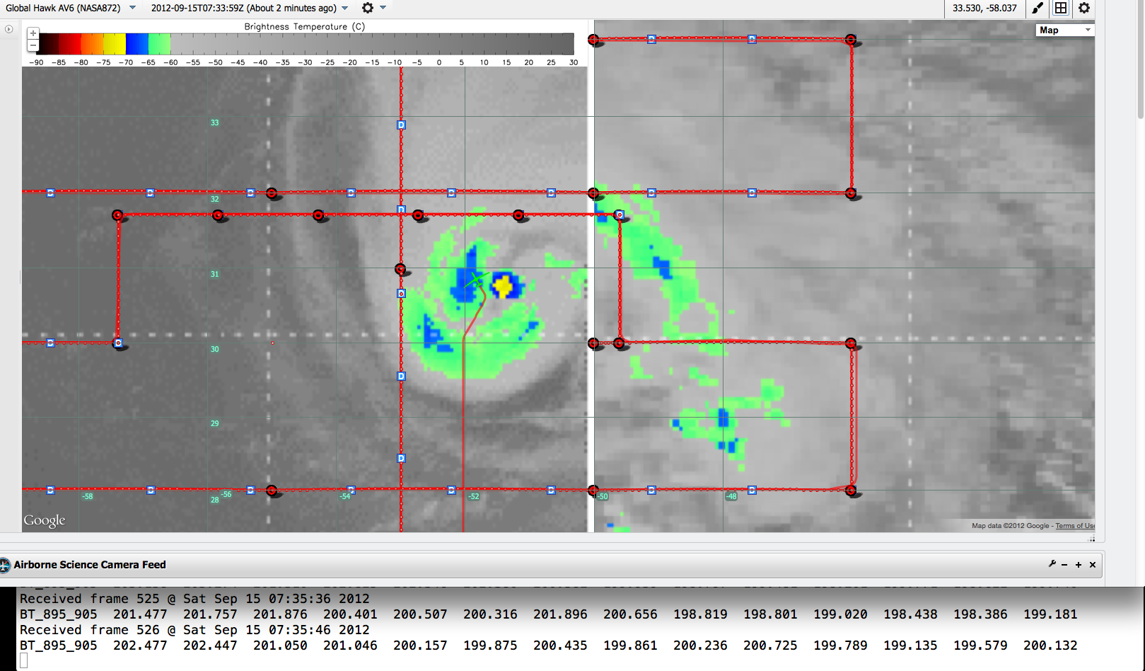
| 20120915_Updated_Cloudtop_Temp_with_SHIS_BT_values 2012-09-15 at 7.31.55 AM.png/th>
|
|
TEXT
|
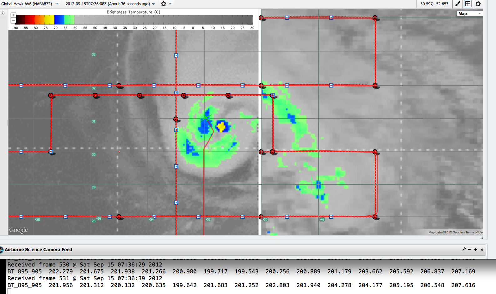
| 20120915_Updated_Cloudtop_Temp_with_SHIS_BT_value 2012-09-15 at 7.35.41 AM.png/th>
|
|
TEXT
|
| 20120915_Updated_Cloudtop_Temp_with_SHIS_BT_value 2012-09-15 at 7.36.38 AM.png/th>
|
|
TEXT
|
| 20120915_Updated_Cloudtop_Temp_with_SHIS_BT_value 2012-09-15 at 7.38.21 AM.png/th>
|

|
TEXT
|
| 20120915_Updated_Cloudtop_Temp_with_SHIS_BT_value 2012-09-15 at 7.48.40 AM.png/th>
|

|
TEXT
|
| 20120915_Updated_NHC_IR_with_SHIS_BT_value 2012-09-15 at 7.54.36 AM.png/th>
|

|
TEXT
|
| 20120915_Updated_NHC_IR_with_SHIS_BT_value 2012-09-15 at 7.56.13 AM.png/th>
|

|
TEXT
|
| Nadine The Hedgehog |
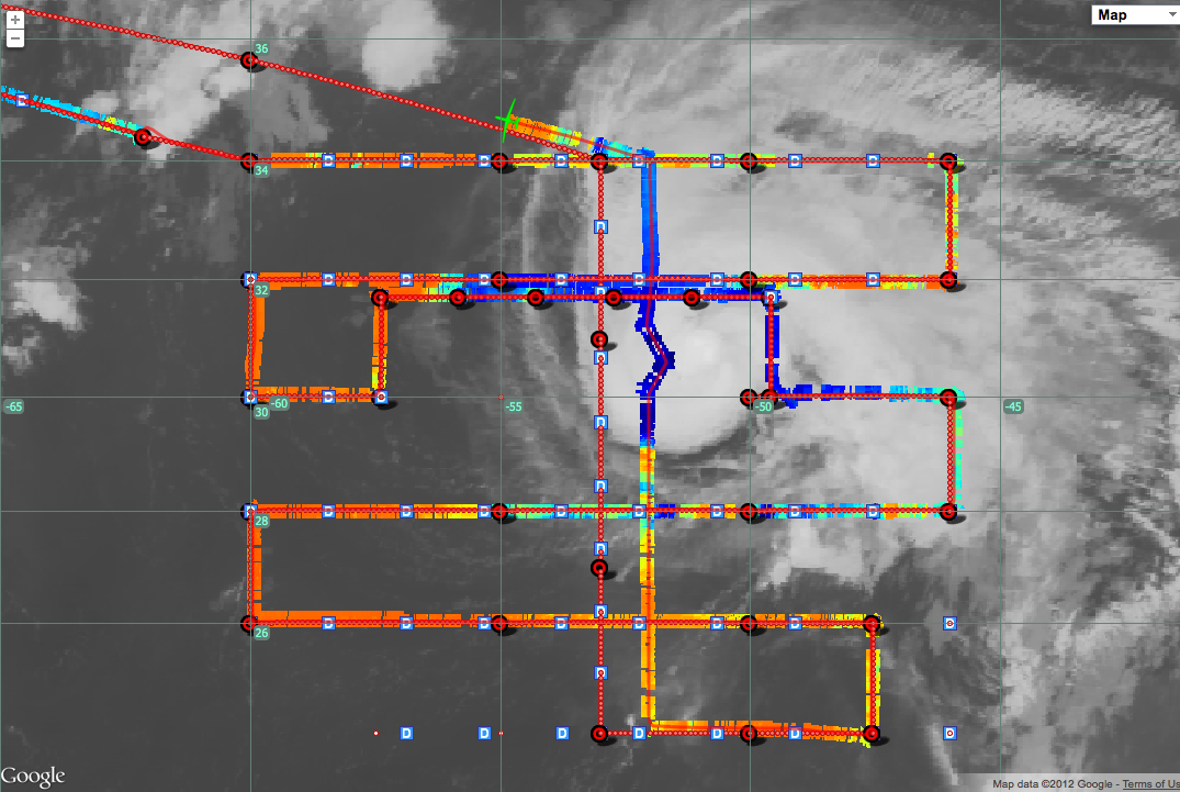
|
Hurricane Nadine at 08:30UTC, looking like a hedgehog. S-HIS BT shown over completed over-storm pattern.
|
| JUNK/th>
|

|
TEXT
|
| JUNK/th>
|
|
TEXT
|